$1,261,715
Solar Venta Castellón
- 4.58 Ac lot
- Updated: May 25
About the Property
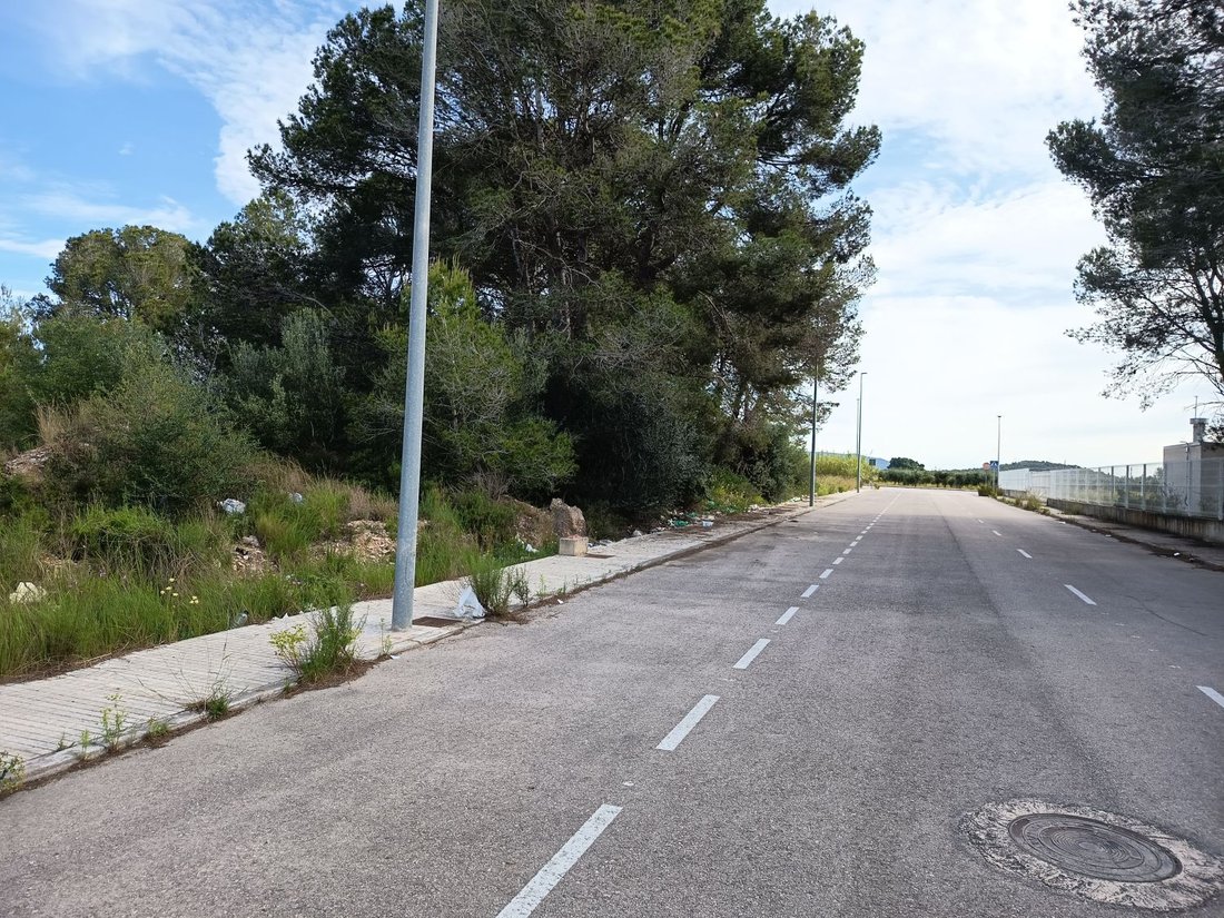
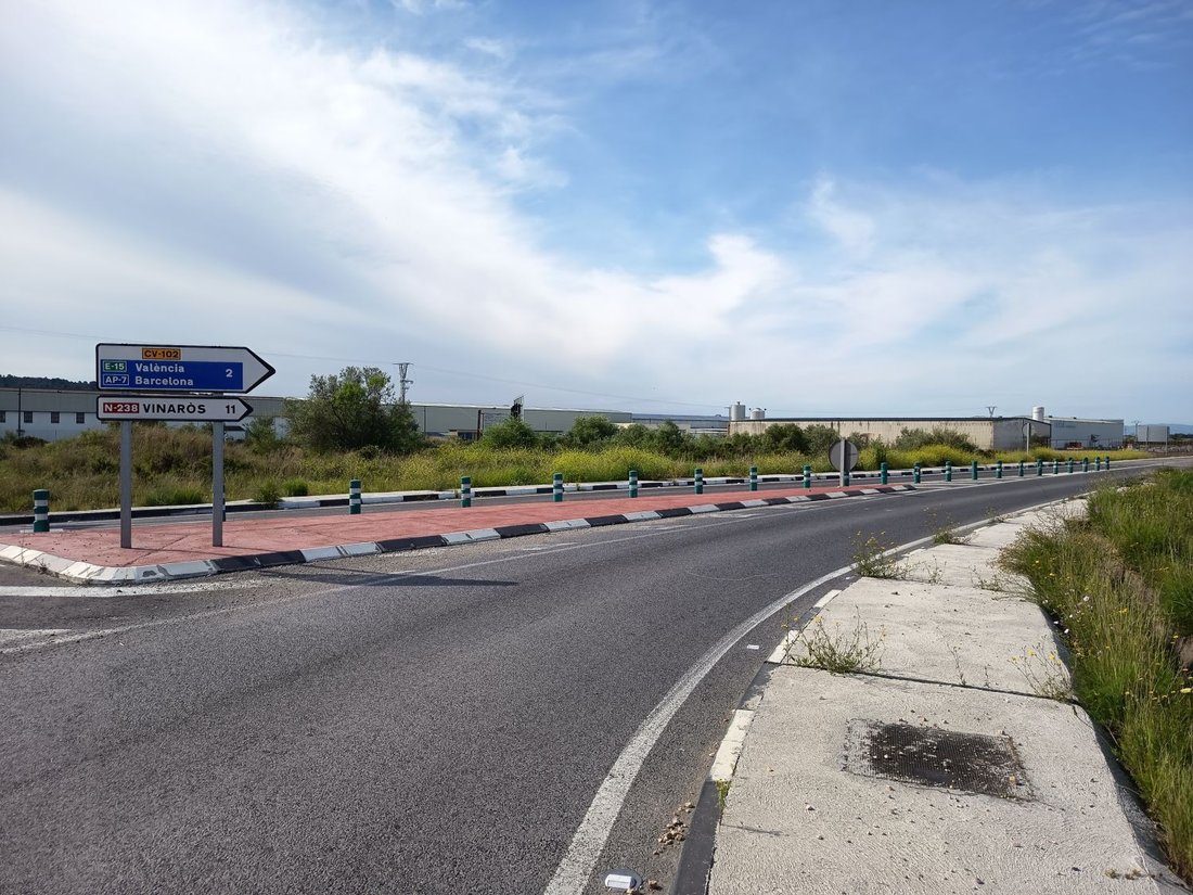
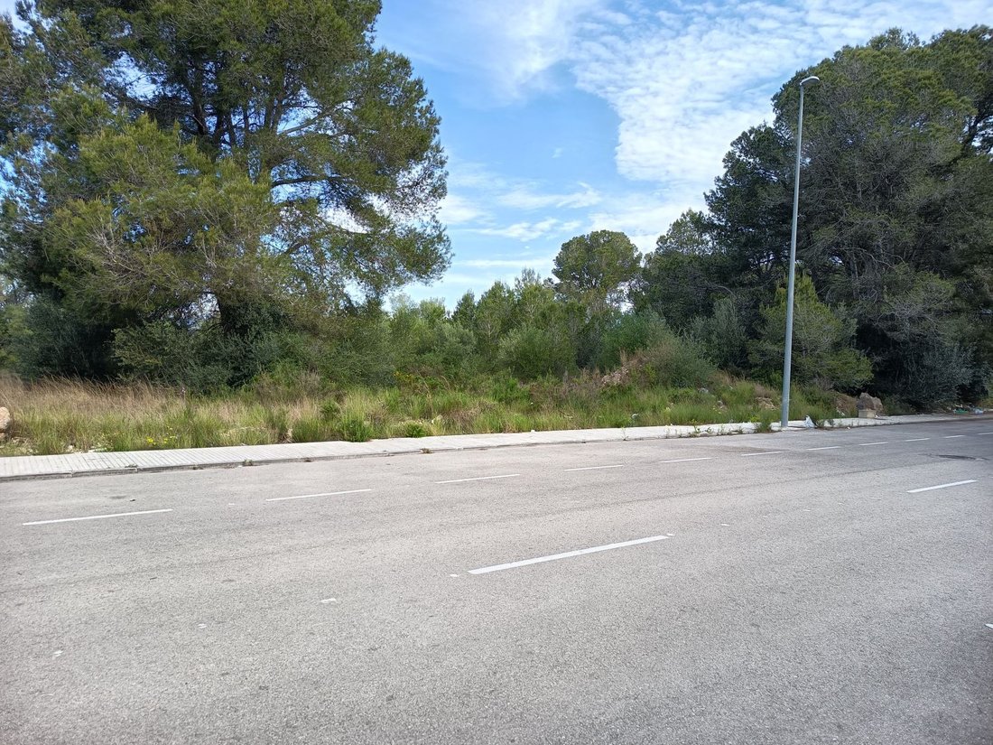
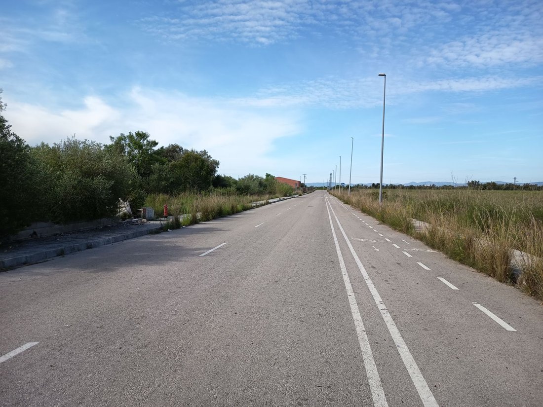
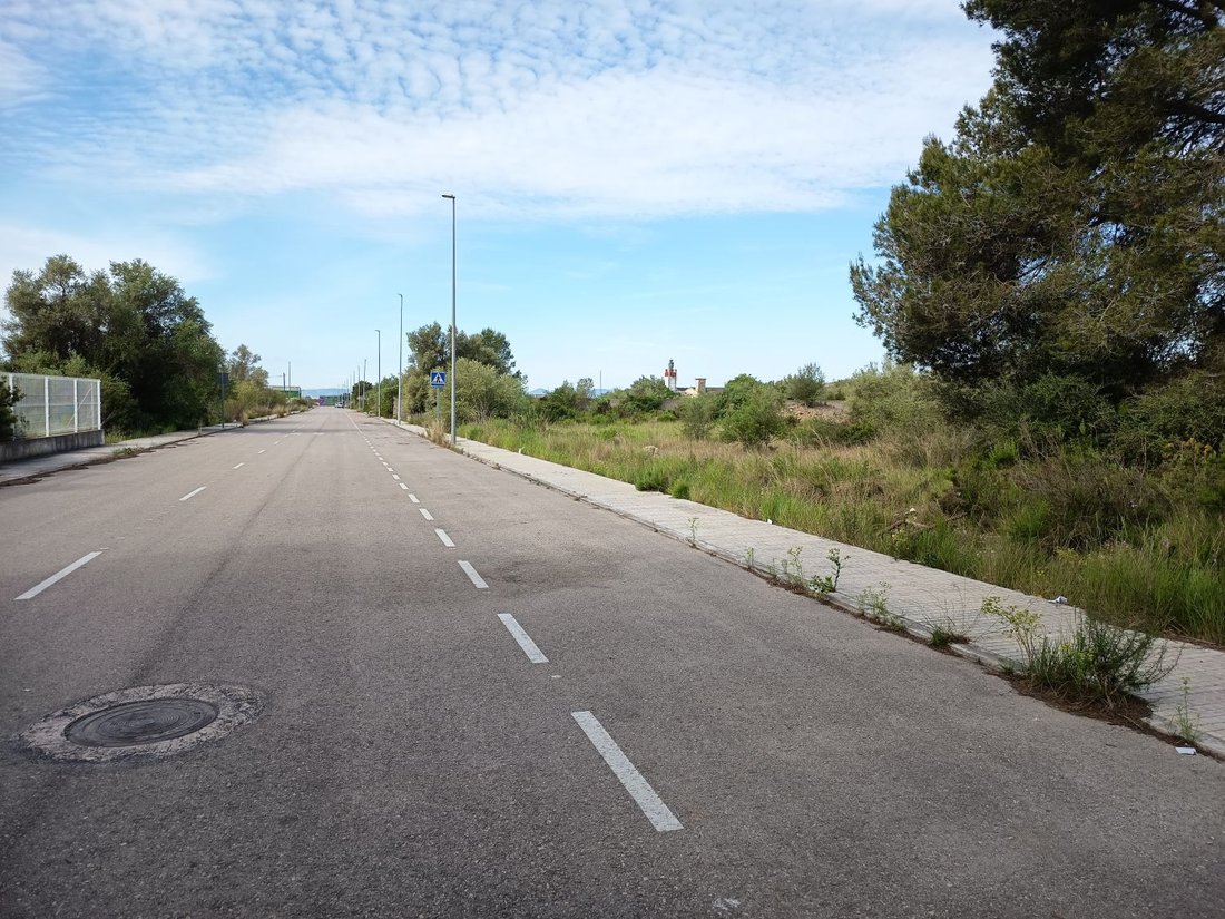
This is an urban plot with access from two different roads, located in an industrial estate called Planes Altes, which is 2.5 km from a highway entrance/exit (AP 7 Vinaròs / Ulldecona). This estate is urbanized and equipped with all basic services:
- Electricity
- Power
- Sewerage
- Street lighting
URBAN PLANNING DATA: The plot is classified by the PGOU as urban land
- Electricity
- Power
- Sewerage
- Street lighting
URBAN PLANNING DATA: The plot is classified by the PGOU as urban land
This is an urban plot with access from two different roads, located in an industrial estate called Planes Altes, which is 2.5 km from a highway entrance/exit (AP 7 Vinaròs / Ulldecona). This estate is urbanized and equipped with all basic services:
- Electricity
- Power
- Sewerage
- Street lighting
URBAN PLANNING DATA: The plot is classified by the PGOU as urban land with zoning ZU8 2 - industrial building zone (IND-2 Polígono Industrial Planes Altes). Construction of industries and warehouses is allowed.
Allowed floors: Ground floor + first floor with a 12-meter setback on the ground floor around the entire perimeter. The ground floor requires a 12 m setback around the entire perimeter, so the typical ground floor will have a maximum of approximately 12,529 m².
Volume: 100,232 m³.
Maximum allowed height: 8 meters.
Vinaròs is a town and municipality in the Bajo Maestrazgo region, of which it is the capital, located in the north of the Province of Castellón, in the Valencian Community. It has a population of 28,682 and currently maintains a stable population. Its economy is diversified across several sectors: services, industry, agriculture, commerce, and industry.
Regarding communications:
- The main La Hife bus stop and a regular Autos Mediterráneo line are 300 m away.
- The town has a railway station.
- There is an AP7 highway exit (free from Vilaseca to Alicante).
- It is 35 km from high mountains (Parque Natural dels Ports Tortosa-Besseit).
- It is also close to the Delta de l’Ebre Natural Park (20 km).
- Electricity
- Power
- Sewerage
- Street lighting
URBAN PLANNING DATA: The plot is classified by the PGOU as urban land with zoning ZU8 2 - industrial building zone (IND-2 Polígono Industrial Planes Altes). Construction of industries and warehouses is allowed.
Allowed floors: Ground floor + first floor with a 12-meter setback on the ground floor around the entire perimeter. The ground floor requires a 12 m setback around the entire perimeter, so the typical ground floor will have a maximum of approximately 12,529 m².
Volume: 100,232 m³.
Maximum allowed height: 8 meters.
Vinaròs is a town and municipality in the Bajo Maestrazgo region, of which it is the capital, located in the north of the Province of Castellón, in the Valencian Community. It has a population of 28,682 and currently maintains a stable population. Its economy is diversified across several sectors: services, industry, agriculture, commerce, and industry.
Regarding communications:
- The main La Hife bus stop and a regular Autos Mediterráneo line are 300 m away.
- The town has a railway station.
- There is an AP7 highway exit (free from Vilaseca to Alicante).
- It is 35 km from high mountains (Parque Natural dels Ports Tortosa-Besseit).
- It is also close to the Delta de l’Ebre Natural Park (20 km).
-
Property type
Land
-
Emissions
X
-
Consumption
X
Explore the Area
Calle PLANES ALTES C, 11, Vinaros, Polígono, Valencian Community, Spain
View on Google Maps
Price per sqft
Low
High
Joined 3 years ago
You have inquired about this property
The agent will contact you soon by
Listed by
1
Listings
2023
Joined
Book home tour with the agent
Choose a date and whether you'd like a virtual or in-person tour with the agent.
Preferred date
Tour type
Last updated
May 25
First listed
May 29, 2025
Listing reference
8215582155521
Trusted by the World's Leading Brokers
The agents behind the world's most exceptional properties list with JamesEdition.
- Listings from Sotheby's, Christie's, BARNES, and Engel & Völkers
- Every listing reviewed before it goes live
- Connect directly with verified listing agents
By continuing you agree to our Terms and Privacy Policy.