$9,342,096
Manresa Plot
- 5,587 Sqft
- 42.01 Ac lot
- Updated: Today
About the Property
BUCKINGHAM Property Advisors exclusively markets an investment and development opportunity 15 minutes from Manresa.
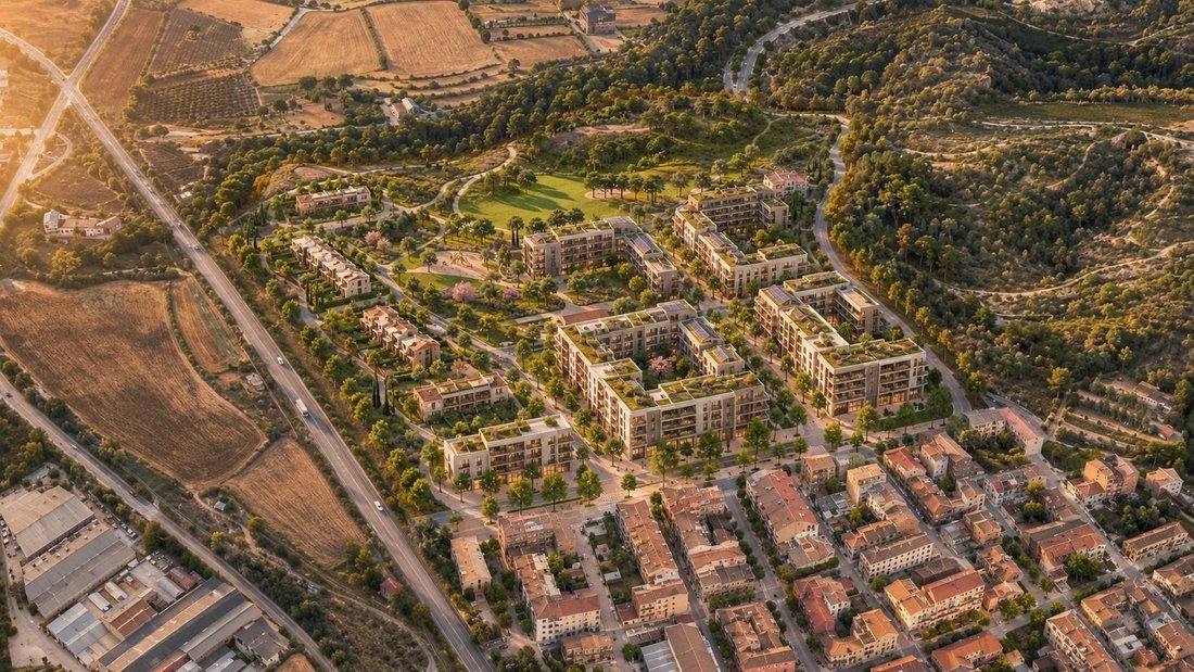
Residential Non-Programmed Urbanizable Sector of the North in Sant Vicenç de Castellet.
The area covers approximately 170,000 m2, about 17 hectares, and borders the last urbanized section of the town center. The participation of three owners, representing approximat
Residential Non-Programmed Urbanizable Sector of the North in Sant Vicenç de Castellet.
The area covers approximately 170,000 m2, about 17 hectares, and borders the last urbanized section of the town center. The participation of three owners, representing approximat
BUCKINGHAM Property Advisors exclusively markets an investment and development opportunity 15 minutes from Manresa.
Residential Non-Programmed Urbanizable Sector of the North in Sant Vicenç de Castellet.
The area covers approximately 170,000 m2, about 17 hectares, and borders the last urbanized section of the town center. The participation of three owners, representing approximately 93% of the sector, is marketed jointly.
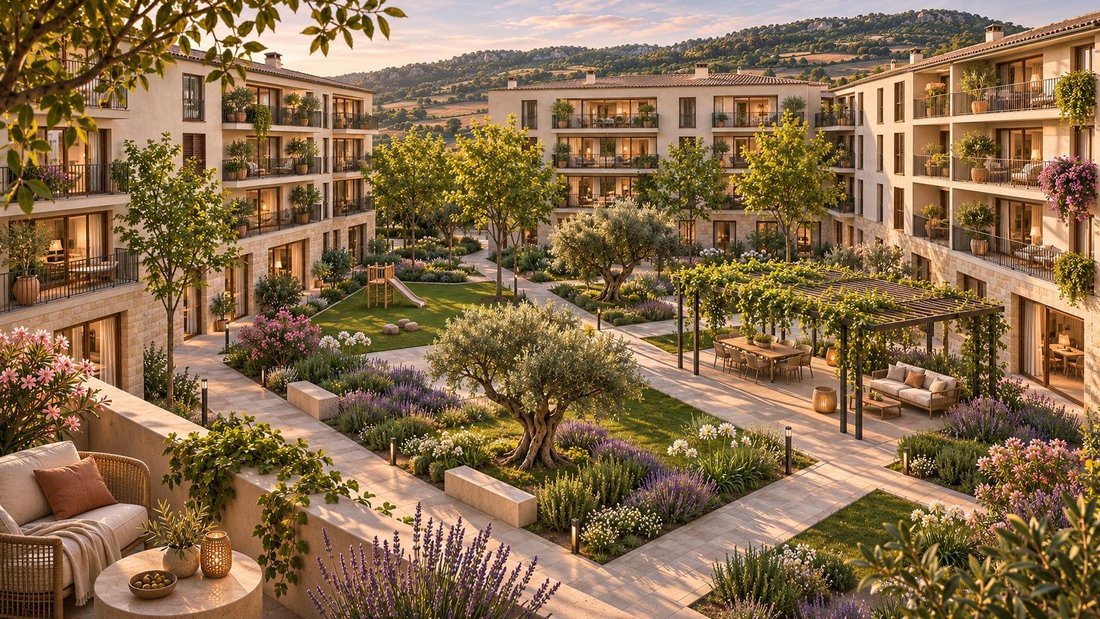
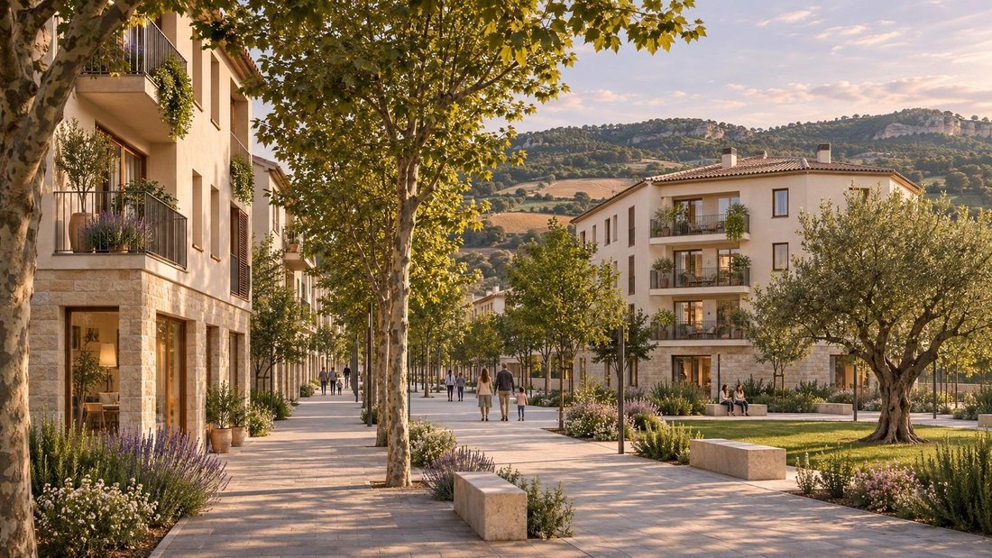
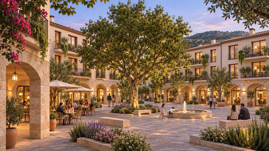
According to current planning documentation, the main use is residential, allowing for single-family and multi-family housing. A total buildable area of 0.45 m2 of floor space per m2 of land is planned, equivalent to about 76,500 m2 of floor space, with an indicative density of 35 homes per hectare. The dossier estimates a potential of up to 595 homes. Complementary uses such as hotel, commercial, office, healthcare, socio-cultural, sports, and educational are also foreseen.
The land is almost flat, with a slight slope from north to south. It is adjacent to the town center and has good connections: the RENFE station is about 600 m away and the FGC station about 800 m. Sant Vicenç de Castellet also has access to the C-16 highway and road connections to Manresa and other towns in the region.
This opportunity is aimed at developers and investors interested in developing a residential project in the Bages region, with a majority stake in the area marketed jointly.
Sale price: €8,500,000
The urban classification corresponds to non-programmed urbanizable land. Programming, detailed planning, land redistribution, urbanization, and eventual construction are subject to urban planning procedures and the corresponding administrative authorizations. The indicated areas and capacities are based on available urban planning documentation and must be verified through technical and legal studies.
Residential Non-Programmed Urbanizable Sector of the North in Sant Vicenç de Castellet.
The area covers approximately 170,000 m2, about 17 hectares, and borders the last urbanized section of the town center. The participation of three owners, representing approximately 93% of the sector, is marketed jointly.
According to current planning documentation, the main use is residential, allowing for single-family and multi-family housing. A total buildable area of 0.45 m2 of floor space per m2 of land is planned, equivalent to about 76,500 m2 of floor space, with an indicative density of 35 homes per hectare. The dossier estimates a potential of up to 595 homes. Complementary uses such as hotel, commercial, office, healthcare, socio-cultural, sports, and educational are also foreseen.
The land is almost flat, with a slight slope from north to south. It is adjacent to the town center and has good connections: the RENFE station is about 600 m away and the FGC station about 800 m. Sant Vicenç de Castellet also has access to the C-16 highway and road connections to Manresa and other towns in the region.
This opportunity is aimed at developers and investors interested in developing a residential project in the Bages region, with a majority stake in the area marketed jointly.
Sale price: €8,500,000
The urban classification corresponds to non-programmed urbanizable land. Programming, detailed planning, land redistribution, urbanization, and eventual construction are subject to urban planning procedures and the corresponding administrative authorizations. The indicated areas and capacities are based on available urban planning documentation and must be verified through technical and legal studies.
-
Property type
Land
-
Price/sqft
$1,672
Features
- Pergola
- Investment Property
- Gate
- Mountain View
- Outdoor Living Space
Explore the Area
Sant Vicenç de Castellet, Manresa, 08295, Spain
View on Google Maps
Price per sqft
Low
High
Joined 2 years ago
You have inquired about this property
The agent will contact you soon by
Listed by
25
Listings
2025
Joined
Book home tour with the agent
Choose a date and whether you'd like a virtual or in-person tour with the agent.
Preferred date
Tour type
Last updated
Today
First listed
November 19
Listing reference
BP2143/12563
Similar Properties Nearby
New Listings in Manresa

Explore More Homes for Sale
Manresa, Spain property types
Manresa, Spain popular searches
- Panoramic / Scenic View properties in Manresa, Spain
- Sea View properties in Manresa, Spain
- Properties with Terrace in Manresa, Spain
- Properties with Bar in Manresa, Spain
- Properties with Game Room in Manresa, Spain
- Properties with Elevator in Manresa, Spain
- Privacy properties in Manresa, Spain
- Investment Property properties in Manresa, Spain
- Modern properties in Manresa, Spain
- Properties with Fitness Center / Gym in Manresa, Spain
- Properties with Library in Manresa, Spain
- Properties with Wine Cellar in Manresa, Spain
- Properties with Jacuzzi in Manresa, Spain
- Properties with Fireplace in Manresa, Spain
- Seafront properties in Manresa, Spain
- Mansion properties in Manresa, Spain
- Properties with Open Kitchen in Manresa, Spain
- Renovated properties in Manresa, Spain
Manresa, Spain neighborhoods
Related Guides & Stories
Trusted by the World's Leading Brokers
The agents behind the world's most exceptional properties list with JamesEdition.
- Listings from Sotheby's, Christie's, BARNES, and Engel & Völkers
- Every listing reviewed before it goes live
- Connect directly with verified listing agents
By continuing you agree to our Terms and Privacy Policy.