$2,155,361
Fundo 165 Ha Km 1050 Ruta 5 Sur
- Aggiornato: Agosto 13
-
8
Visualizzazioni degli ultimi 30 giorni
- 9
Informazioni sulla proprietà
La descrizione è stata tradotta automaticamente.
La descrizione viene visualizzata nella lingua originale.
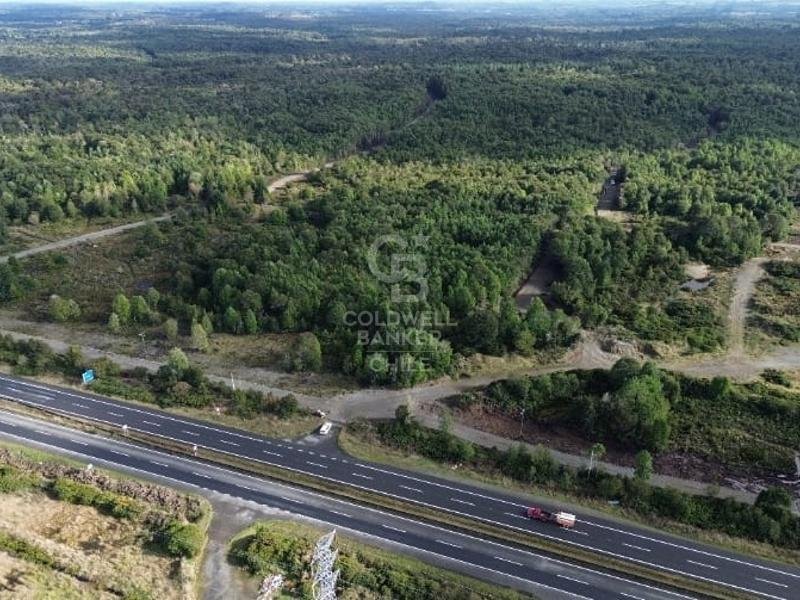
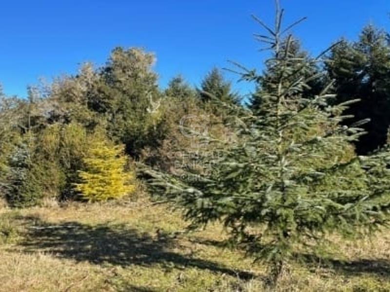
A 165-hectare property located on the right-hand side (north-south) of the Route 5 dual carriageway; 42 km south of the regional capital of Puerto Montt and 13 km north of the Chacao Channel and the future bridge that will cross to Chiloé Island.
The project has an approved subdivision plan registered with the Land Registry (CBR), and the internal roads are completed.
It is chara
The project has an approved subdivision plan registered with the Land Registry (CBR), and the internal roads are completed.
It is chara
A 165-hectare property located on the right-hand side (north-south) of the Route 5 dual carriageway; 42 km south of the regional capital of Puerto Montt and 13 km north of the Chacao Channel and the future bridge that will cross to Chiloé Island.
The project has an approved subdivision plan registered with the Land Registry (CBR), and the internal roads are completed.
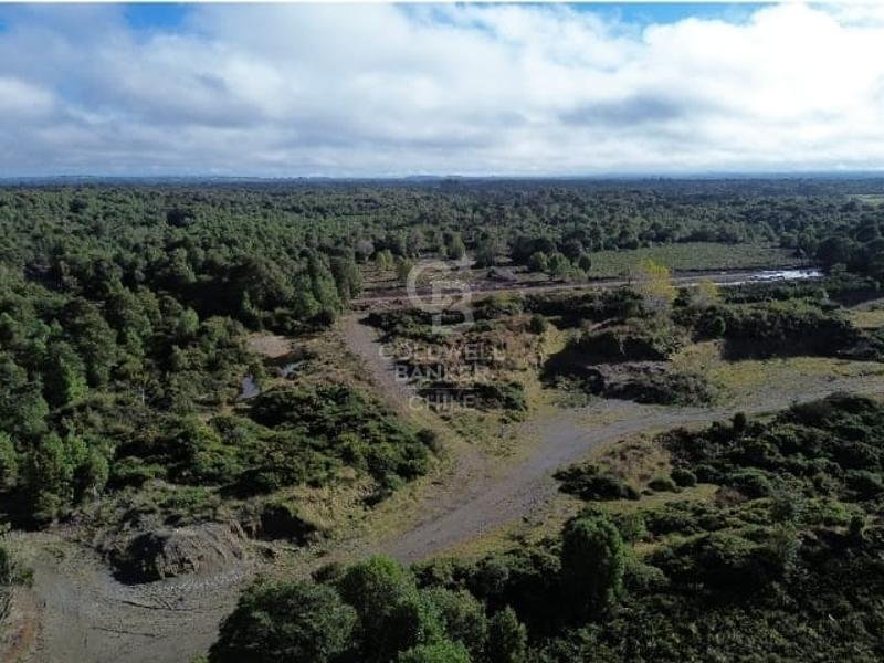
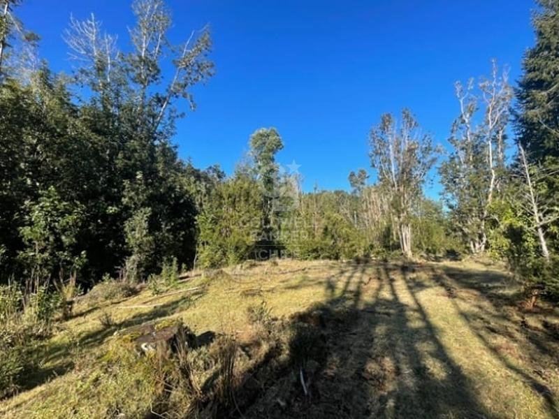
It is characterized by well-defined boundaries; to the east, it has approximately 1,200 meters of frontage on the dual carriageway and two streams with year-round flow, one to the north and one to the south of the property.
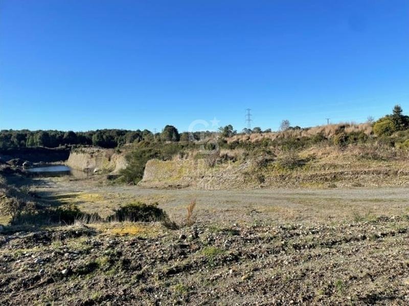
It has a 2-hectare gravel pit, which could be exploited and expanded if necessary.
Regarding utilities, it has a three-phase power line running north-south along the 1,200 meters of the eastern boundary. This area is characterized by a significant amount of groundwater, reaching depths of approximately 30 meters.
The sale price is for the entire property.
The project has an approved subdivision plan registered with the Land Registry (CBR), and the internal roads are completed.
It is characterized by well-defined boundaries; to the east, it has approximately 1,200 meters of frontage on the dual carriageway and two streams with year-round flow, one to the north and one to the south of the property.
It has a 2-hectare gravel pit, which could be exploited and expanded if necessary.
Regarding utilities, it has a three-phase power line running north-south along the 1,200 meters of the eastern boundary. This area is characterized by a significant amount of groundwater, reaching depths of approximately 30 meters.
The sale price is for the entire property.
-
Tipo di proprietà
Terreno
Caratteristiche
- Giardino
- Vista sulle montagne
Esplora la zona
Costado derecho de la doble vía Ruta, Puerto Montt, Los Lagos, Cile
Visualizza su Google Maps
Prezzo per sqft
Basso
Alto
Iscritto da 3 anni
Hai chiesto informazioni su questa proprietà
L'agente La contatterà al più presto
Pubblicato da
45
Annunci
2023
Iscritto
Prenota una visita con the agent
Scegli una data e indica se preferisci un tour virtuale o di persona con l’agente.
Data preferita
Tipo di tour

Coldwell Banker Los Lagos - Los Lagos
Km 1.5 Camino Ensenada, Los Lagos, Los Lagos, Chile
Visualizza profilo agenzia
Ultimo aggiornamento
Agosto 13
Prima pubblicazione
May 31, 2025
Riferimento annuncio
h4d9k6
Proprietà simili nelle vicinanze
Nuovi annunci a Puerto Montt

Esplora più immobili in vendita
tipi di proprietà Puerto Montt, Cile
Puerto Montt, Cile ricerche popolari
- Proprietà immobiliari Vista sull'acqua a Puerto Montt, Cile
- Proprietà immobiliari Vista mare a Puerto Montt, Cile
- Proprietà immobiliari Vista panoramica / Scenica a Puerto Montt, Cile
- Proprietà immobiliari con Camino a Puerto Montt, Cile
- Proprietà immobiliari con Idromassaggio a Puerto Montt, Cile
- Proprietà immobiliari Lungomare a Puerto Montt, Cile
- Proprietà immobiliari con Sauna a Puerto Montt, Cile
- Proprietà immobiliari Equestre a Puerto Montt, Cile
- Proprietà immobiliari con Terrazza a Puerto Montt, Cile
Guide e storie correlate
La fiducia dei migliori broker del mondo
Gli agenti dietro le proprietà più straordinarie del mondo pubblicano su JamesEdition.
- Annunci di Sotheby's, Christie's, BARNES ed Engel & Völkers
- Ogni annuncio è verificato prima della pubblicazione
- Si metta in contatto diretto con agenti verificati
Continuando, accetta i nostri Termini e la nostra Informativa sulla privacy.