$3,250,000
Tintore 235.46
- 235.46 Ac lot
- Aggiornato: Ieri
Informazioni sulla proprietà
La descrizione è stata tradotta automaticamente.
La descrizione viene visualizzata nella lingua originale.
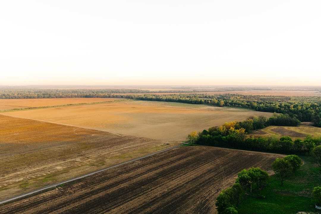
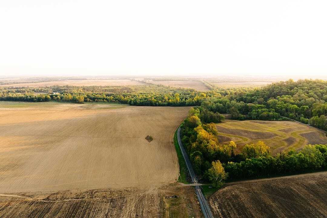
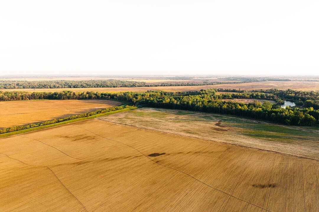
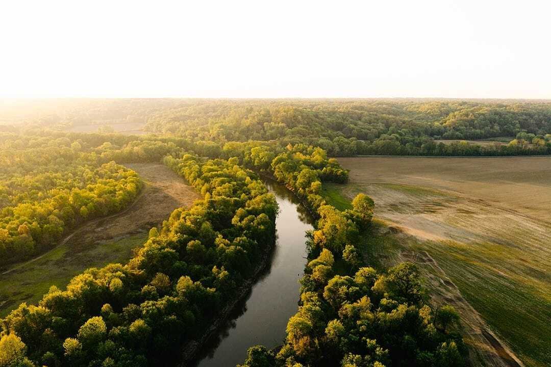
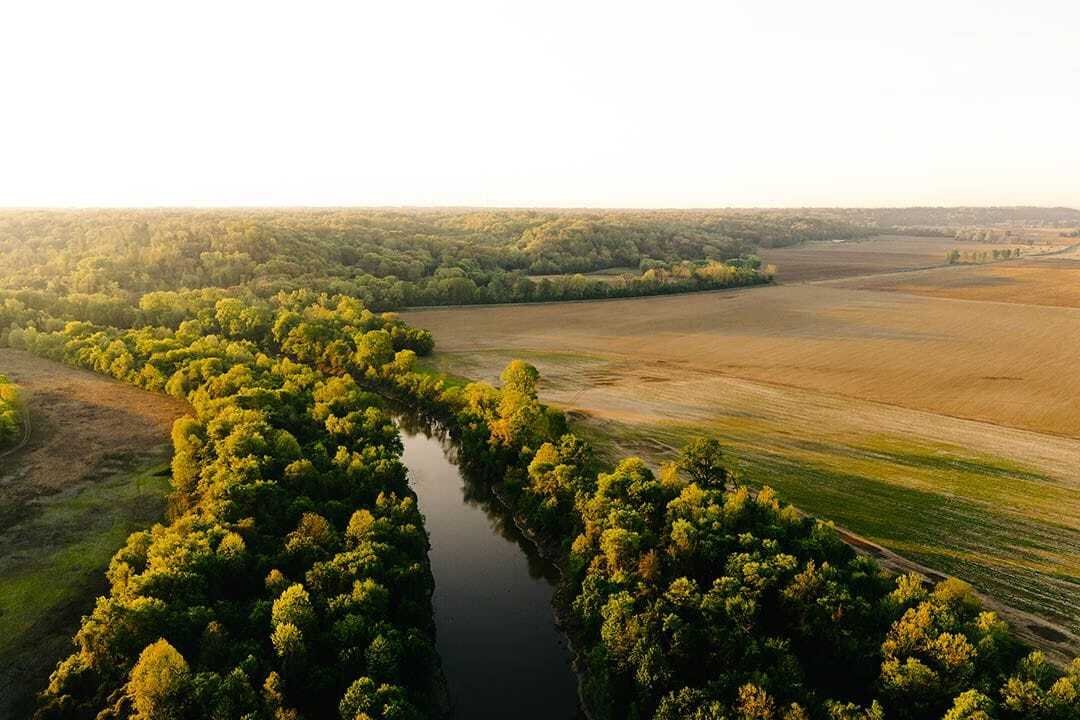
Discover 235.46 surveyed acres along the Obion River in a prime West Tennessee waterfowl flyway. Primarily cultivated, this Dyer County farm offers a combination of agricultural, recreational, and investment potential. The property has a long history of family ownership, having remained in the same family since 1889.
Located just east of the Mississippi River, the farm lies just over one
Located just east of the Mississippi River, the farm lies just over one
Discover 235.46 surveyed acres along the Obion River in a prime West Tennessee waterfowl flyway. Primarily cultivated, this Dyer County farm offers a combination of agricultural, recreational, and investment potential. The property has a long history of family ownership, having remained in the same family since 1889.
Located just east of the Mississippi River, the farm lies just over one mile from White Lake Refuge and approximately two miles from Thorny Cypress Wildlife Management Area, both known for holding significant numbers of ducks each season. This area of Dyer County is recognized for its waterfowl hunting, with migrating birds moving through the Mississippi Flyway and concentrating along the Obion River corridor. The well-known Red Rum Duck Club is located just north of the property, across the river.
The Dyer 235.46 features Obion River frontage, with Coon Creek forming the western boundary. Timber lines the river corridor, adding diversity to the primarily cultivated landscape. A screw gate and turbine pump are also in place.
Access is available from Tar Hill Road, where an additional 2 acre tract is available as a potential lodge/home site. Whether you’re looking to expand your farming operation, invest in West Tennessee land, or find a place to spend mornings in the duck blind, this historic Dyer County farm offers a range of possibilities.
Contact Shane Martin today to schedule a private tour and experience #TheSmallTownWay!
Location:
Tar Hill RoadDyersburg, TN 38024
Dyer County
1.1 Miles to the White Lake Refuge
2.5 Miles to the Thorney Cypress WMA
10.7 Miles NW of Dyersburg
108 Miles NE of Memphis
185 Miles W of Nashville
Coordinates:
[hidden information]
Property Use:
Farming
Investment
Duck Hunting
Property Information:
235.46 Surveyed Acres
Primarily Cultivated Farmland
Obion River Frontage
Coon Creek Along the Western Boundary
Screw Gate and Turbine Pump
Road Frontage
Timber along the River Corridor
Additional Acreage Available
Leveed Along Coon Creek and the Obion River
Tax Information:
Part of Parcel 052-009.02
2025: TBD
Located just east of the Mississippi River, the farm lies just over one mile from White Lake Refuge and approximately two miles from Thorny Cypress Wildlife Management Area, both known for holding significant numbers of ducks each season. This area of Dyer County is recognized for its waterfowl hunting, with migrating birds moving through the Mississippi Flyway and concentrating along the Obion River corridor. The well-known Red Rum Duck Club is located just north of the property, across the river.
The Dyer 235.46 features Obion River frontage, with Coon Creek forming the western boundary. Timber lines the river corridor, adding diversity to the primarily cultivated landscape. A screw gate and turbine pump are also in place.
Access is available from Tar Hill Road, where an additional 2 acre tract is available as a potential lodge/home site. Whether you’re looking to expand your farming operation, invest in West Tennessee land, or find a place to spend mornings in the duck blind, this historic Dyer County farm offers a range of possibilities.
Contact Shane Martin today to schedule a private tour and experience #TheSmallTownWay!
Location:
Tar Hill RoadDyersburg, TN 38024
Dyer County
1.1 Miles to the White Lake Refuge
2.5 Miles to the Thorney Cypress WMA
10.7 Miles NW of Dyersburg
108 Miles NE of Memphis
185 Miles W of Nashville
Coordinates:
[hidden information]
Property Use:
Farming
Investment
Duck Hunting
Property Information:
235.46 Surveyed Acres
Primarily Cultivated Farmland
Obion River Frontage
Coon Creek Along the Western Boundary
Screw Gate and Turbine Pump
Road Frontage
Timber along the River Corridor
Additional Acreage Available
Leveed Along Coon Creek and the Obion River
Tax Information:
Part of Parcel 052-009.02
2025: TBD
-
Tipo di proprietà
Azienda agricola
Caratteristiche
- Lungofiume
- Cancello
- Giardino
- Vista sull'acqua
Esplora la zona
Tar Hill Rd, Dyersburg, Tennessee, Stati Uniti
Visualizza su Google Maps
Prezzo per sqft
Basso
Alto
Iscritto da 1 mese
Hai chiesto informazioni su questa proprietà
L'agente La contatterà al più presto
Pubblicato da
95
Annunci
2026
Iscritto
Prenota una visita con the agent
Scegli una data e indica se preferisci un tour virtuale o di persona con l’agente.
Data preferita
Tipo di tour
Ultimo aggiornamento
Ieri
Prima pubblicazione
Novembre 19
Riferimento annuncio
rsls-120885
Proprietà simili nelle vicinanze
Nuovi annunci a Dyersburg

Esplora più immobili in vendita
tipi di proprietà Dyersburg, TN, Stati Uniti
Dyersburg, TN, Stati Uniti ricerche popolari
Guide e storie correlate
La fiducia dei migliori broker del mondo
Gli agenti dietro le proprietà più straordinarie del mondo pubblicano su JamesEdition.
- Annunci di Sotheby's, Christie's, BARNES ed Engel & Völkers
- Ogni annuncio è verificato prima della pubblicazione
- Si metta in contatto diretto con agenti verificati
Continuando, accetta i nostri Termini e la nostra Informativa sulla privacy.
Brokerages we
partnered with
partnered with